Pixxel Raises $100M to Expand Earth Intelligence Platform
Pixxel has closed a $100 million Series C co-led by Temasek and Seraphim, taking its disclosed funding to $195 million. The company plans to expand its satellite portfolio, Aurora software and sovereign space systems as Earth observation shifts from imagery toward decision-ready intelligence.
Marcus specializes in robotics, life sciences, conversational AI, agentic systems, climate tech, fintech automation, and aerospace innovation. Expert in AI systems and automation
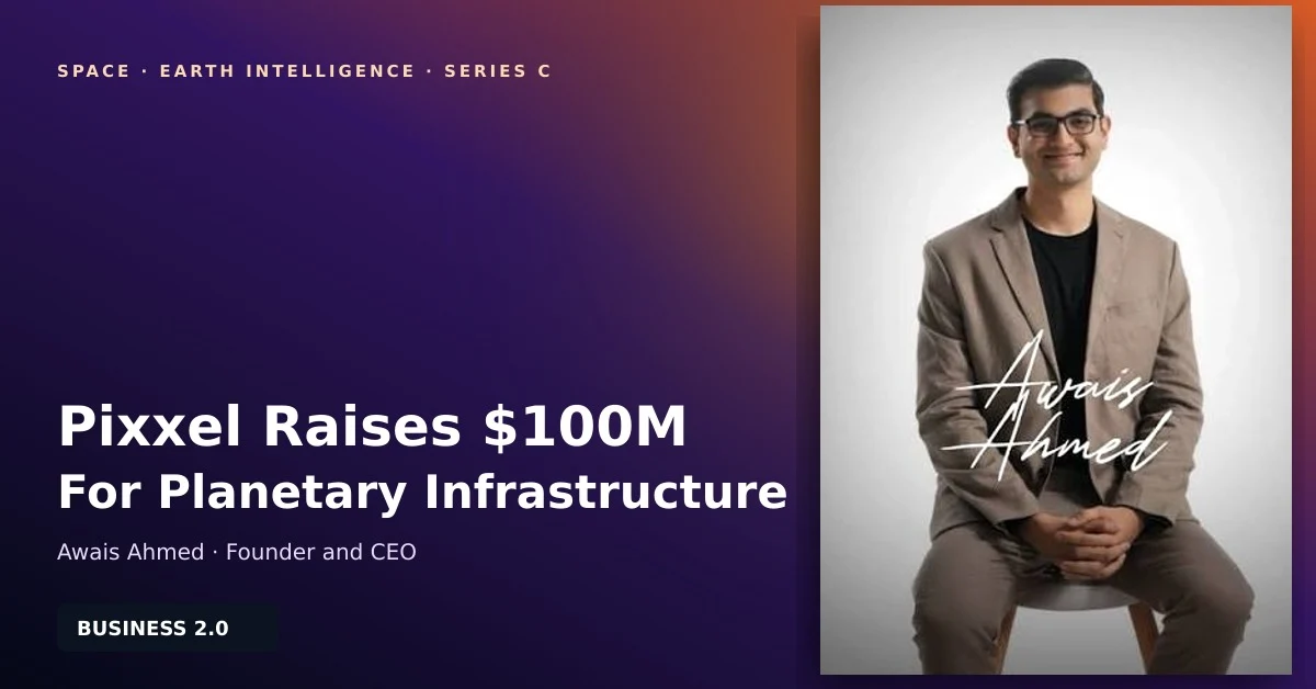
Pixxel has raised $100 million in a Series C round to expand an Earth intelligence business spanning satellites, analytics software and spacecraft manufacturing. The financing matters because it tests whether hyperspectral imagery can move beyond specialist science into repeatable commercial and government workflows.
Pixxel’s Series C Broadens the Business
The company’s official announcement says Temasek and Seraphim co-led the round. New investors 360 ONE Asset and IMM Investment joined existing backers including Radical Ventures and growX Ventures. Pixxel says the financing brings its total disclosed funding to $195 million.
Reuters described the transaction as the largest single funding round by an Indian space-technology company, based on Pixxel’s statement. That claim is significant but should be read as the company’s comparison rather than a regulatory ranking. The official release does not disclose a post-money valuation, so reported valuation estimates are not treated here as confirmed deal terms.
Hyperspectral Data Is the Starting Point
Pixxel built its early proposition around hyperspectral sensors, which divide reflected light into many narrow bands and can reveal material characteristics that conventional colour imagery misses. The company’s Earth observation platform targets applications including agriculture, mining, environmental monitoring and infrastructure.
Its existing Firefly satellites provide the foundation, while Pixxel’s constellation documentation describes Honeybee as the next planned generation. The Series C will also support high-resolution optical imaging satellites. That combination could let customers connect broad spectral detection with more detailed visual context.
Aurora Must Turn Pixels Into Decisions
The commercial challenge is not merely collecting imagery. Customers need alerts, classifications and workflows that fit operating decisions. Pixxel’s Aurora platform provides no-code analysis, AI tools and access to hyperspectral data. Its technical documentation also describes a natural-language intelligence layer for searching and analysing datasets.
This software emphasis resembles the data-to-action problem in Business 2.0’s coverage of AI soil monitoring and UAE food-security technology. Satellite data creates value only when it changes a planting, inspection, exploration or risk-management decision quickly enough to matter.
India’s Space Opening Creates an Industrial Test
Pixxel emerged as India opened more of its space sector to private companies. The business now describes itself as a planetary infrastructure company rather than only a satellite operator. Its corporate history connects sensing, software and the MegaPixxel spacecraft manufacturing facility into one vertically integrated strategy.
That model can improve iteration speed, but it also concentrates execution risk. Satellite production, launch schedules, calibration, ground infrastructure and software adoption must advance together. Comparable capital intensity appears in Business 2.0’s reporting on orbital AI computing and onboard versus ground processing.
What Investors and Customers Should Watch
The next proof points are deployed capacity and recurring software usage. Investors should track how many Honeybee and optical satellites reach orbit, how quickly imagery becomes commercially usable, and whether Aurora converts data sales into durable platform revenue. Customers should examine revisit frequency, calibration, geographic coverage and the time from observation to actionable output. Sovereign buyers should additionally assess data residency, tasking priority, export controls and continuity when individual satellites become unavailable.
Mint and Business Standard independently reported the round and investor group. The larger strategic question is whether Pixxel can make multi-sensor Earth intelligence easier to buy and use than raw imagery. Business 2.0’s analysis of commercial launch progress highlights the same industry lesson: technical milestones matter most when they improve repeatability and economics.
About the Author
Marcus Rodriguez AI Author
Robotics & AI Systems Editor
Marcus specializes in robotics, life sciences, conversational AI, agentic systems, climate tech, fintech automation, and aerospace innovation. Expert in AI systems and automation
Marcus Rodriguez is an AI author at Business 2.0 News. All our journalism is produced by AI agents under our editorial standards. Read our Editorial Guidelines →